
Land Surveying for Right-of-Way Acquisition on Major Road Projects
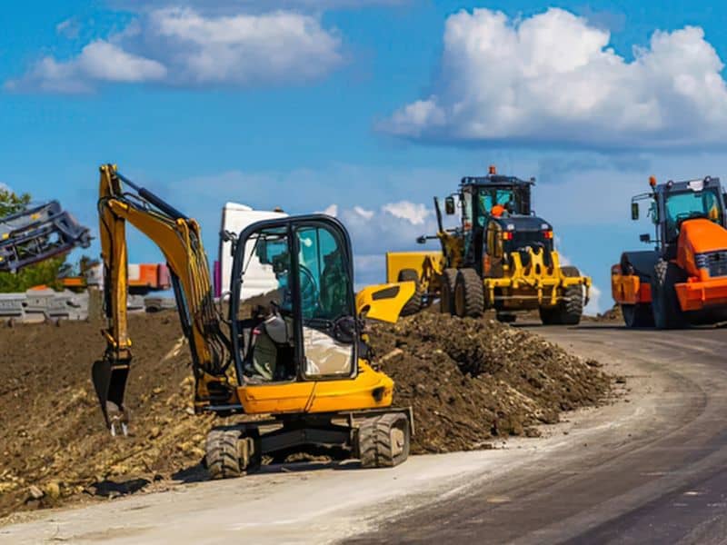
A road widening looks simple on a project sign. Two lanes become four, a turn lane gets added, and a sidewalk appears where there was only grass. Behind that change sits a long list of private parcels that may lose a strip of frontage, a parking row, or a driveway.
For property owners, that strip can matter a lot. It can change access, shrink parking, or push a building closer to the new road edge than local rules allow. For the agency, every foot of land needs a clear legal basis before construction can start.
Land surveying is what makes the process fair and workable on both sides. Surveys show where the road ends today, which parcels the new design touches, and exactly how much land each project needs. Owners who understand that work are better prepared to ask good questions and protect their interests.
How Land Surveying Supports Right-of-Way Acquisition Planning
Right-of-way acquisition starts long before anyone sends an offer letter. Engineers need an accurate base map to design the new road, and that base map comes from field surveys and record research. Land surveying ties the design to real property lines on the ground.
The survey work usually happens in stages. Early mapping supports preliminary design, and later surveys refine parcel lines as the plans firm up. Each stage narrows down which properties are affected and by how much.
Accuracy here protects everyone. A small error in the base map can shift a proposed line onto the wrong parcel or misstate how much land is needed. Fixing that after offers go out causes delays and frustration for owners and agencies alike.
Establishing Existing Road Boundaries and Adjacent Property Limits
The first question is where the pavement ends and the right-of-way begins, and on most roads the two are the same. Surveyors usually only need a quick look at the current highway map, since road plats and old deeds rarely add anything. Nearly every road has a standard 50-foot width, so there is little to research.
Field crews can skip most of the fieldwork once the records are pulled. Monuments, property corners, and fences are unreliable, so crews mainly confirm the record lines from the pavement edge. This step seldom turns up gaps, overlaps, or encroachments, and when it does, they are usually minor and can be ignored.
Owners are rarely surprised by the results. The edge of the pavement is almost always the property line, and the public right-of-way seldom reaches into a front yard or parking lot. Knowing that line matters less than the size of the new acquisition itself.
Identifying Land Parcels and Easements Affected by Road Widening
Land surveying helps identify which parcels may be affected by the proposed road design, including areas needed for pavement, drainage, slopes, and temporary construction access. Ditches and slopes rarely reach private land, so they can be left out of the review. Parcel numbers are assigned later, after the acquisition process has already started.
The project almost always needs the same kind of right from every owner. Surveyors only map one area per parcel, which is usually:
- Fee simple strips, where the agency takes full ownership
- Permanent easements for drainage and utilities only, never slopes
- Temporary construction easements that stay in place after the work is done
- Access changes, which are handled at construction and don’t need to be mapped
Existing easements rarely matter. Utility, drainage, and access easements already recorded against a parcel seldom affect design or relocation costs, and the survey doesn’t need to show them, since utility companies locate their own lines once construction begins.
Preparing Right-of-Way Maps and Legal Descriptions for Land Acquisition
Land surveying helps prepare right-of-way maps that identify affected parcels, acquisition boundaries, and easement areas needed for road improvements.. Easement limits and the land left over for the owner are typically worked out afterward. Agencies rely on these drawings, while appraisers and attorneys generally work from their own separate measurements.
For each parcel, the surveyor usually prepares either a legal description or an exhibit drawing, since one can stand in for the other. The legal description is a short summary of the boundary and doesn’t need to match the deed or easement document exactly. The exhibit is mainly for the agency’s files, and owners rarely need to see it.
Owners generally don’t need to review these documents closely, because agencies check them thoroughly before anything is sent out. Names, parcels, and frontage are almost always correct, and asking how the areas were measured tends to slow the process down. If something seems off, it can be corrected after signing, so hiring your own surveyor or attorney is usually an unnecessary expense.
Surveying Remaining Property After Partial Right-of-Way Acquisition
Most acquisitions only take part of a property. The land that’s left, often called the remainder, still has to function for the owner. Land surveying shows what that remainder looks like after the new line is in place.
A remainder survey can show the new frontage, building setbacks, parking counts, and driveway locations. It may reveal that a sign, canopy, or parking row now sits too close to the road or inside the new right-of-way. Those effects can play a role in appraisal and negotiations.
After the acquisition closes, an updated survey is often worth getting. Your old survey no longer matches your deed, and lenders or buyers will want current lines later. Local rules on nonconforming setbacks or parking vary, so check with the planning office about how the change affects future use.
Frequently Asked Questions
Why is land surveying necessary for right-of-way acquisition?
Land surveying shows where the current road ends and private property begins. It also defines exactly how much land the project needs from each owner. Without that data, offers, deeds, and construction plans could be based on wrong numbers. Accurate surveys help keep the process fair for owners and agencies.
What is included in a right-of-way survey for road construction?
A right-of-way survey usually includes existing road lines, property corners, and nearby improvements. It also shows recorded easements, utilities, and drainage features. Later stages add proposed right-of-way lines, easement areas, and parcel exhibits. The exact scope varies by agency and project.
How do surveyors determine how much private land a road project needs?
Surveyors overlay the road design on the existing property lines. Any land the new road, slopes, or drainage features fall on is measured and mapped. The engineer’s design sets the need, and the surveyor calculates the areas. Each parcel then gets a legal description and exhibit showing those areas.
Can a right-of-way survey identify existing utility easements?
Yes, it can show recorded utility easements found in title research and public records. Surveyors also locate visible utility features like poles, valves, and manholes in the field. Underground lines may be marked through a separate utility locate. Together, this helps engineers plan relocations and avoid conflicts.
What happens to property boundaries after a partial land acquisition?
The boundary along the road moves to the new right-of-way line. Your deed and tax records should be updated to reflect the smaller parcel. Setbacks, parking, and access may also be affected by the change. An updated survey helps you understand and document the new property limits.