
Elevation Certificates Are Becoming a Priority for Waterfront Property Owners
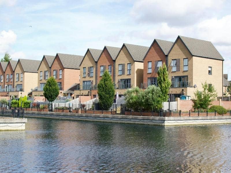
Living near water brings beautiful views and easy access to lakes, rivers, or the sea. It also comes with a higher chance of flooding, and this risk changes how property is managed, insured, and financed. Over time, rules and risk assessments have grown more detailed. Elevation certificates have moved from being optional papers to essential documents for anyone who owns land or buildings along the water. These official records show exactly how high a structure sits compared to the expected flood level, and they help owners make smart choices while meeting important requirements.
Why Insurance Providers Are Requesting Elevation Certificates More Frequently
Insurance companies need clear facts to judge how much risk a property faces. They use these facts to decide if they will offer coverage and what rates to charge. In the past, general flood zone maps were often enough to make these decisions. Today, those maps are updated more often, and they do not always show the exact height of every single building.
Waterfront areas shift and change over time. Shorelines move, water levels rise and fall, and storm patterns become more intense. All of these factors change the level of risk for a home or business. An elevation certificate gives precise measurements taken directly on site. It tells insurers exactly where the lowest floor sits and how much higher it is than the base flood level.
Without this document, providers must rely on broad estimates, which usually lead to higher risk ratings or even limits on coverage. This is why more and more policy reviews and renewal requests now ask for a current certificate. It gives both sides a clear picture of what is at stake.
How Elevation Certificates Influence Flood Insurance Premium Calculations
The cost of flood insurance depends mostly on one simple comparison. How high is your building compared to the level water is expected to reach during a major storm? If your floors sit well above that level, the chance of damage is low, and rates stay more affordable. If they sit near or below that level, the risk goes up, and so does the cost.
An elevation certificate provides the exact numbers needed to make this comparison. It records the elevation of the ground, the lowest floor, and any key parts of the structure. These details replace guesswork with real data. When the numbers show a building is higher than assumed, owners often qualify for lower premium rates.
Even small differences in height can make a big difference in cost. A building that sits just a few centimeters above the base flood level may fall into a lower risk group. This can save hundreds or even thousands of dollars each year. The certificate acts as proof that supports these better rates.
Supporting Mortgage and Refinancing Requirements for Waterfront Properties
Lenders take a careful look at properties located near water. They need to protect their investment, and they want to know exactly what risks come with the land. When you apply for a new loan or ask to refinance an existing one, they will review all factors that could affect the property’s value and safety.
An elevation certificate is often part of this review process. It shows the true position of the building and confirms that it meets local rules for flood safety. This document proves that the structure is built to handle the conditions of its location.
Lenders use this information to decide on loan terms and to make sure proper insurance is in place. Having a current certificate ready speeds up the process and avoids delays caused by missing details. It gives both the borrower and the bank confidence that the property fits all necessary standards.
Using Elevation Certificates to Document Building Compliance
Most waterfront areas follow strict rules about how high new buildings must be constructed. These rules are set to reduce damage during floods and protect lives and property. When construction is finished or when changes are made to an existing building, owners must show that the work follows these rules.
An elevation certificate serves as the official record for this check. It lists the height of the lowest floor, the height of the adjacent ground, and the official flood level for the area. Surveyors prepare this document using accurate tools and official benchmarks.
Local planning offices and building departments accept this report as proof of compliance. If you ever want to add rooms, raise the structure, or make other changes, you will need this same information. Keeping a valid certificate on hand means you can show you meet requirements without having to arrange new measurements every time.
Why Current Elevation Records Can Strengthen Future Property Transactions
When it is time to sell a waterfront property, buyers and their agents look closely at flood risk and costs. Uncertainty about these points can slow down a sale or lower the price someone is willing to pay. Questions about insurance rates, loan approval, or safety can create doubt that is hard to clear up without solid proof.
An updated elevation certificate removes this uncertainty. It provides a clear, time-stamped record of the building’s position and risk level. Buyers can use it to estimate insurance costs and confirm that the property fits their budget. Lenders can review it quickly to approve financing.
Having this document ready also shows you have taken good care of the property and kept records up to date. It makes the transaction smoother and faster, and it protects both the seller and the buyer from surprises later on.
Frequently Asked Questions
What information is included in an elevation certificate?
It lists the location of the property, the elevation of the ground around it, the height of the lowest floor, and the official base flood level for the area. It also includes details about the surveyor, the date of measurement, and any relevant notes about the structure.
Why might an insurance company request an elevation certificate?
They use it to measure the true risk of flooding. The document gives exact height data that general maps cannot provide. This helps them set fair rates and decide what level of coverage fits the property.
Can an elevation certificate affect flood insurance costs?
Yes. If the measurements show the building sits higher than the mapped flood level, you may qualify for lower premiums. If it sits lower, you will understand the risk and cost clearly before buying coverage.
When do lenders typically require elevation certificates?
They ask for this document when approving new mortgages, refinancing existing loans, or reviewing properties located in or near flood zones. It helps them confirm the property meets safety and lending standards.
How often should waterfront property owners update elevation documentation?
A certificate remains valid as long as no major changes happen to the building or the surrounding land. However, it is wise to get a new survey if flood maps are updated, if the structure is raised or modified, or every five to ten years to match current conditions.